Factsheet: Advanced Aquifer Mapping in Zambia
Applying Advanced Aquifer Mapping Tools for Water Planners.
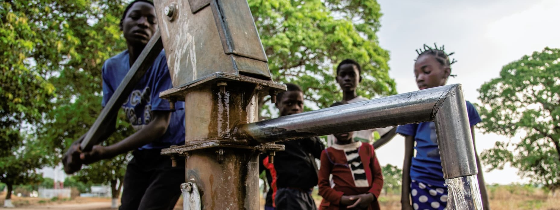
Zambia is using advanced aquifer mapping to help water planners understand groundwater availability, manage supplies sustainably and strengthen water security for communities and farmers during droughts.
Geophysical surveys identify and characterise aquifers, improving understanding of where groundwater is available. Water balance models assess supply and demand, helping planners decide how to use water sustainably as rainfall becomes less reliable. The project combines these tools with staff training and groundwater management planning, building the evidence and skills needed to safeguard drinking water supplies, support irrigation and assess how groundwater can help communities adapt to drought.