Applying High-Tech Soil Monitoring Tools with Drone Technology for Farmers
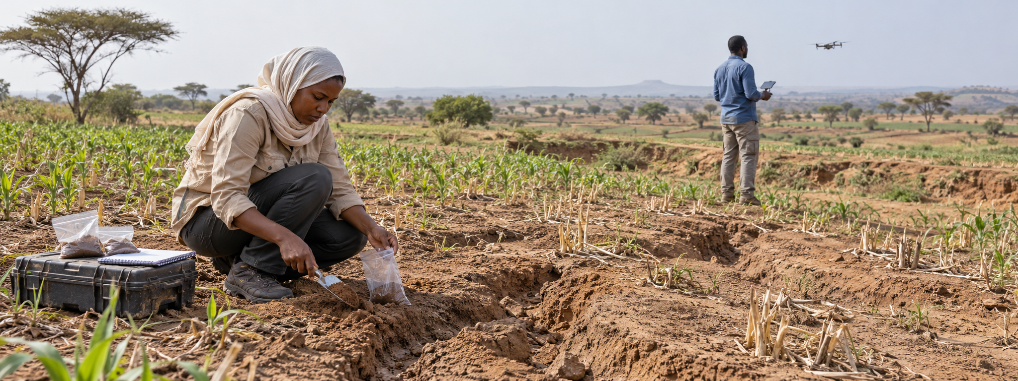
Sudan is combining laboratory soil testing, drone monitoring and digital mapping to help farmers tackle erosion, protect productive land and strengthen food security.
Solution factsheet
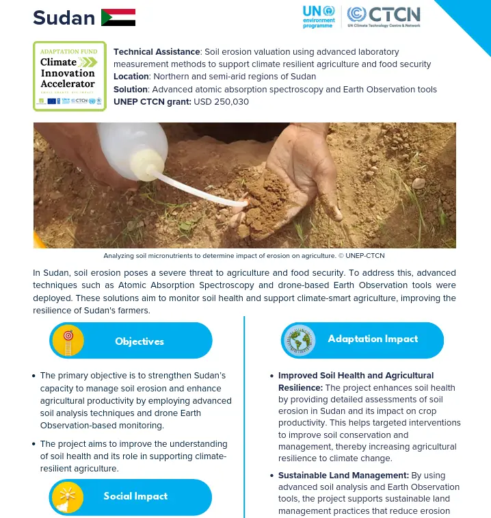 |
Download the solution factsheet to learn more about this climate innovation in Sudan. ↓ Download factsheet |
Overview
Atomic absorption spectroscopy measures micronutrients in soil samples, helping assess how erosion affects agricultural productivity. Drone surveys and other Earth observation tools monitor erosion across the landscape, while digital maps show soil health and areas at risk.
The project strengthens national capacity to use these tools and fill gaps in soil information, supporting targeted conservation measures that help farmers protect productive land and adapt to changing rainfall and temperatures.
At a glance
| Organisation |
Ministry of Agriculture and Natural Resources |
| Primary sector |
Agriculture and food security |
| Innovation stage | 💡 Proof of concept |
| AFCIA Programme |  |
Funding Received
|
$
|
AFCIA funding
USD 250,030
|
Climate impacts addressed

Drought and water security
|
Erratic rainfall
|
 Increasing temperatures / heatwaves
|
 Floods
|
Project team
 |
Marcus Nield
Communication Expert
|
Go to profile Send message |