Delivering Satellite-based Flood Warning Systems for River Nile Communities
Sudan is upgrading flood forecasting and using satellite links to give Nile communities earlier warnings, helping protect lives, farmland and essential infrastructure.
Solution factsheet
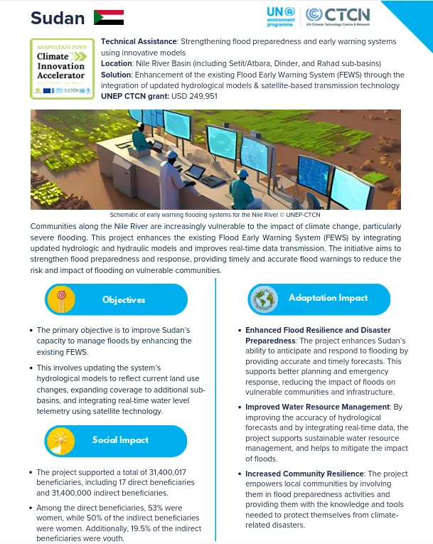 |
Download the solution factsheet to learn more about this climate innovation in Sudan. ↓ Download factsheet |
Overview
The project upgrades Sudan’s existing flood early warning system by combining improved forecasting models with satellite transmission of water-level measurements in real time. Models will incorporate changes in land use, while coverage will expand across the Setit/Atbara, Dinder and Rahad sub-basins.
Better warning dissemination and training for operators and users will help authorities and communities interpret forecasts and act earlier, reducing risks to people, irrigation systems and other infrastructure.
At a glance
| Organisation |
Nile Water Affairs |
| Primary sector |
Early Warning Systems |
| Innovation stage | 💡 Proof of concept |
| AFCIA Programme |  |
Funding Received
|
$
|
AFCIA funding
USD 249,951
|
|
$
|
Additional funding
USD 50,000
Private finance
|
Climate impacts addressed
 Floods
|
Project team
 |
Marcus Nield
Communication Expert
|
Go to profile Send message |