Developing Mult-hazard Forecasting Tools Using Big Data for City Planners
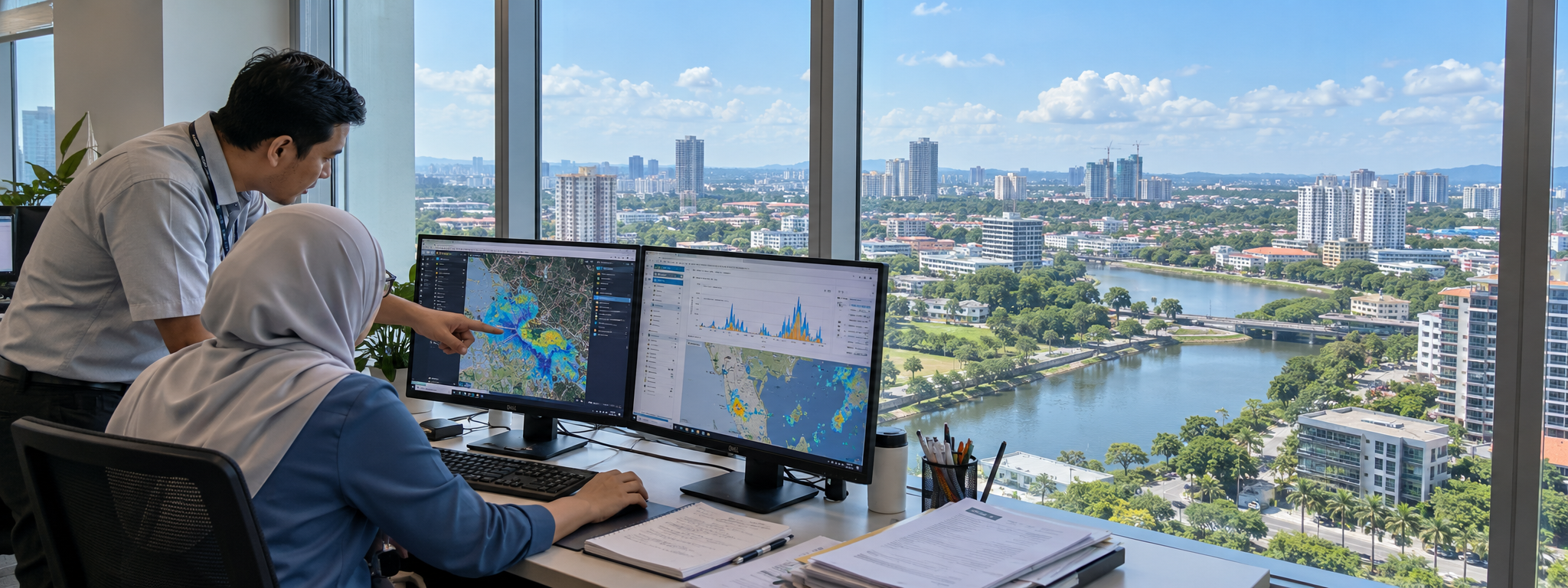
Malaysia is developing a shared forecasting platform to help city planners anticipate floods, extreme heat and other hazards, coordinate responses and protect urban and coastal communities.
Solution factsheet
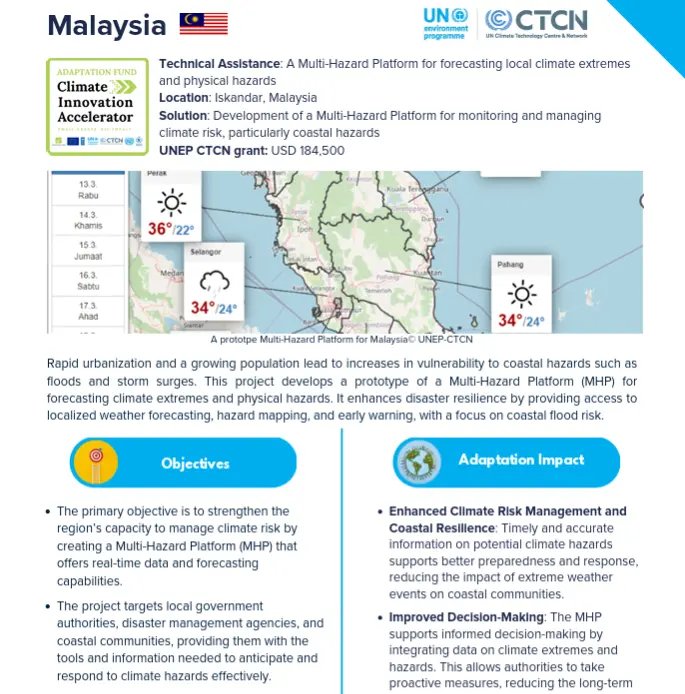 |
Download the solution factsheet to learn more about this climate innovation in Malaysia. ↓ Download factsheet |
Overview
The prototype platform brings together local observations, weather forecasts and hazard maps, with models adapted to Iskandar Malaysia’s tropical conditions. It will help five local authorities monitor and manage flash floods, landslides, sinkholes, strong winds, urban heat and air pollution through a shared system.
Training and community engagement will help turn forecasts into practical preparedness and response measures, while coastal risk maps can support longer-term planning and protection of vulnerable communities.
At a glance
| Organisation |
Ministry of Environment and Water |
| Primary sector |
Early Warning Systems |
| Innovation stage | 💡 Research and Development |
| AFCIA Programme |  |
Funding Received
|
$
|
AFCIA funding
USD 232,414
|
Climate impacts addressed
 Increasing temperatures / heatwaves
|
 Floods
|
 Landslides
|
 Sea level rise
|
 Coastal erosion
|
 Storms and cyclones
|
Project team
 |
Marcus Nield
Communication Expert
|
Go to profile Send message |