Piloting GIS-based Tools to Model Drought Risk for Water Planners
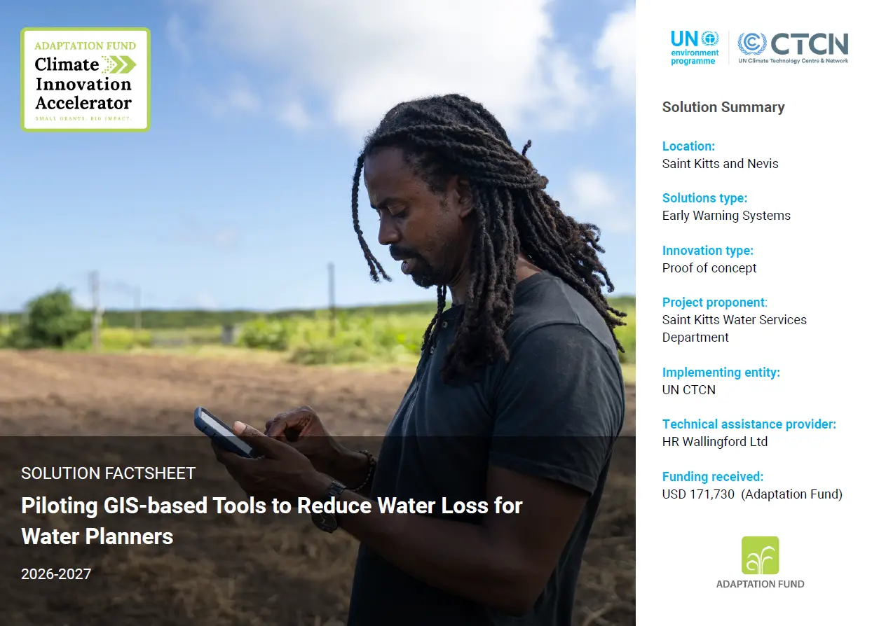
Saint Kitts and Nevis is using GIS, leakage detection and district-level water balancing to reduce water losses, strengthen drought resilience and provide communities with a more reliable water supply.
Solution factsheet
 |
Download the solution factsheet to learn more about this climate innovation in Saint Kitts and Nevis. ↓ Download factsheet |
Overview
An estimated 25–35% of the water supplied in Saint Kitts and Nevis is currently lost through leaks, metering problems or other weaknesses before it can be billed or effectively used. Recovering even part of this lost water could increase the amount available to communities during severe droughts.
The project is establishing a GIS-based monitoring and control system linking information on the physical water network, customers, metering, repairs and maintenance, while improving the procedures used to collect, update and share this information.
At a glance
| Organisation |
Saint Kitts Water Services Department |
| Primary sector |
Early Warning Systems |
| Innovation stage | 💡 Proof of concept |
| AFCIA Programme |  |
Funding Received
|
$
|
AFCIA funding
USD 150,000–200,000
|
Climate impacts addressed

Droughts and water scarcity
|
Project team
 |
Marcus Nield
Communication Expert
|
Go to profile Send message |