Strengthening Real-time Flood Mapping with AI and Satellite Data for Rural Communities
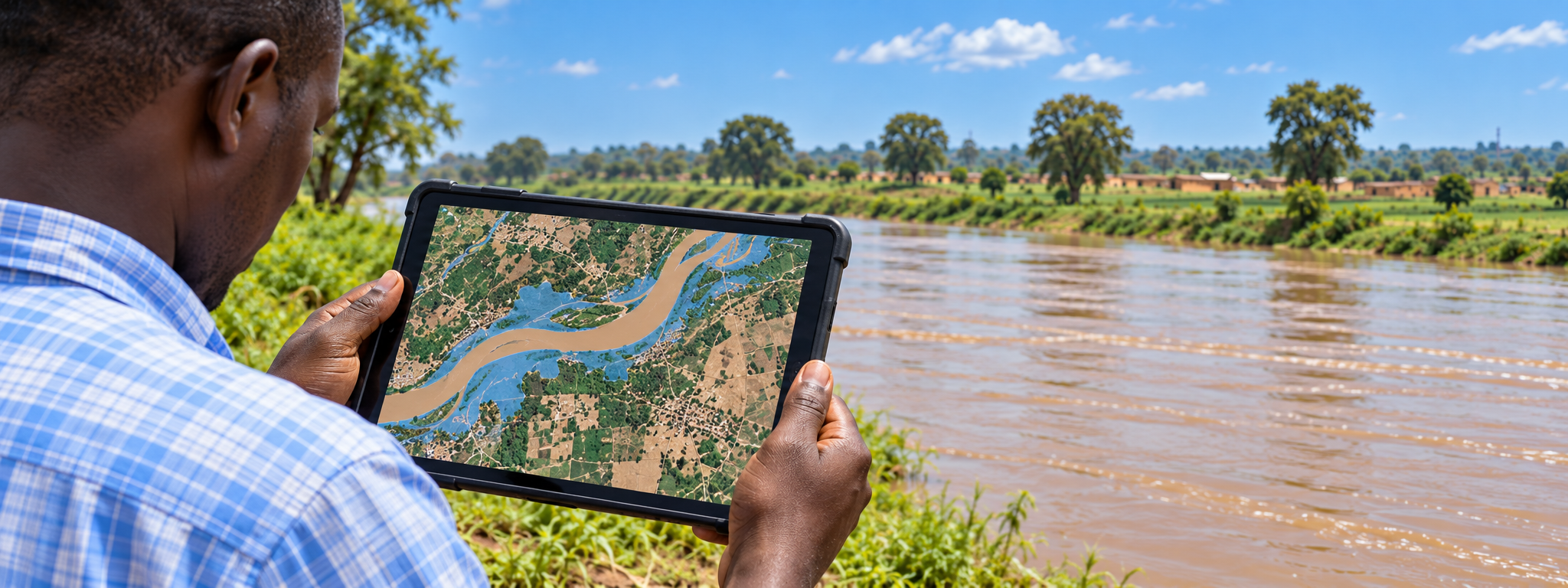
Mali is combining AI, satellite data and water-level sensors to map flood risks in real time, helping rural communities prepare earlier and protect lives, homes and livelihoods.
Solution factsheet
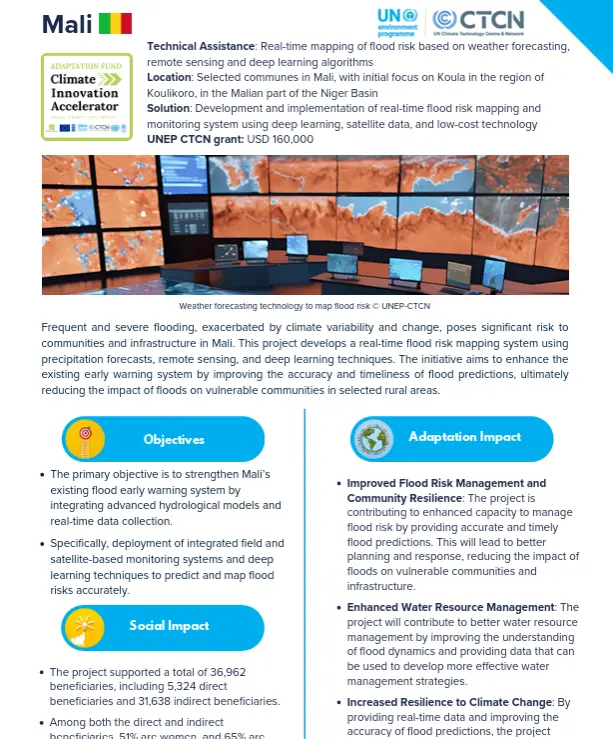 |
Download the solution factsheet to learn more about this climate innovation in Mali. ↓ Download factsheet |
Overview
The system combines rainfall forecasts, satellite and drone data, and deep learning to predict flooding and map areas at risk. Low-cost sensors measure water levels and transmit readings through mobile networks, helping fill gaps in local monitoring.
Initially focused on Koula in the Niger Basin, the project integrates these tools with existing hydrological models and flood warning systems to improve the accuracy and timeliness of alerts and support better planning and emergency response.
At a glance
| Organisation |
Agence de l’Environnement et du Développement Durable |
| Primary sector |
Early Warning Systems |
| Innovation stage | 💡 Research and Development |
| AFCIA Programme |  |
Funding Received
|
$
|
AFCIA funding
USD 199,990
|
Climate impacts addressed
 Floods
|
Project team
 |
Marcus Nield
Communication Expert
|
Go to profile Send message |